Necessary Options /
Adventure Home /
Pittsburgh to D.C. Index /
Ride
Prisoners, Desert Rose, Detour, Bench Warrant, Cave, More Dirty Laundry
 Monday, July 19 to North Mountain (Fort Frederick,MD)
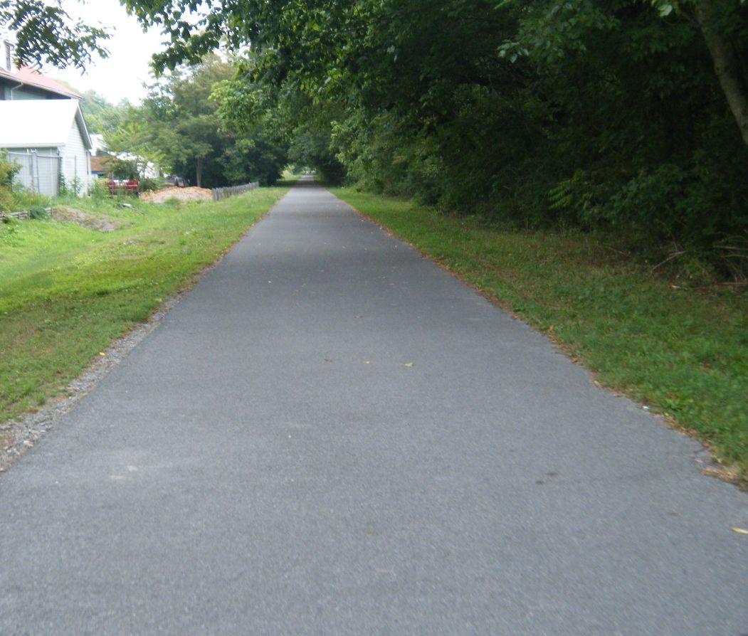
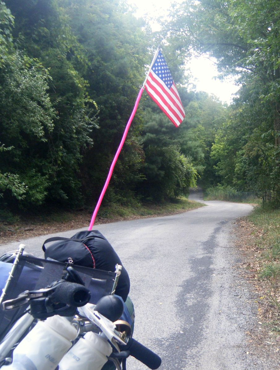
Having missed the first part of the Western Maryland Rail Trail, I decided to give
it a try. It was nicely blacktopped, wide, and very unbusy. It better be nice;
it cost over a quarter of a million dollars - per mile. I probably would have stayed
on it had there not been a crossing to the new canal visitors center a strenuous
three tenths of a mile into my ride (it WAS uphill). The guide was informed and
informative.
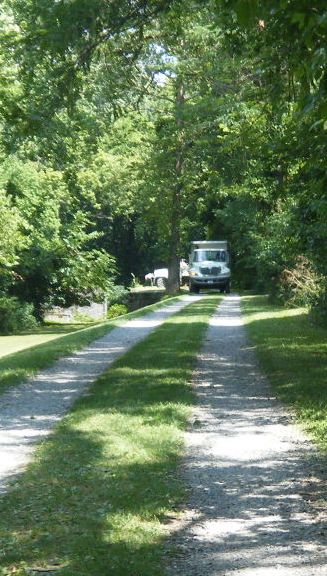
Before getting to the visitors center, I had stopped at the C&O maintenance center
and met one of the workers. He said that just down the trail I would see trucks on
the canal. The path was getting a 40-mile resurface, thanks to a grant from the
stimulus package. Last Spring, they filled in potholes and leveled high points.
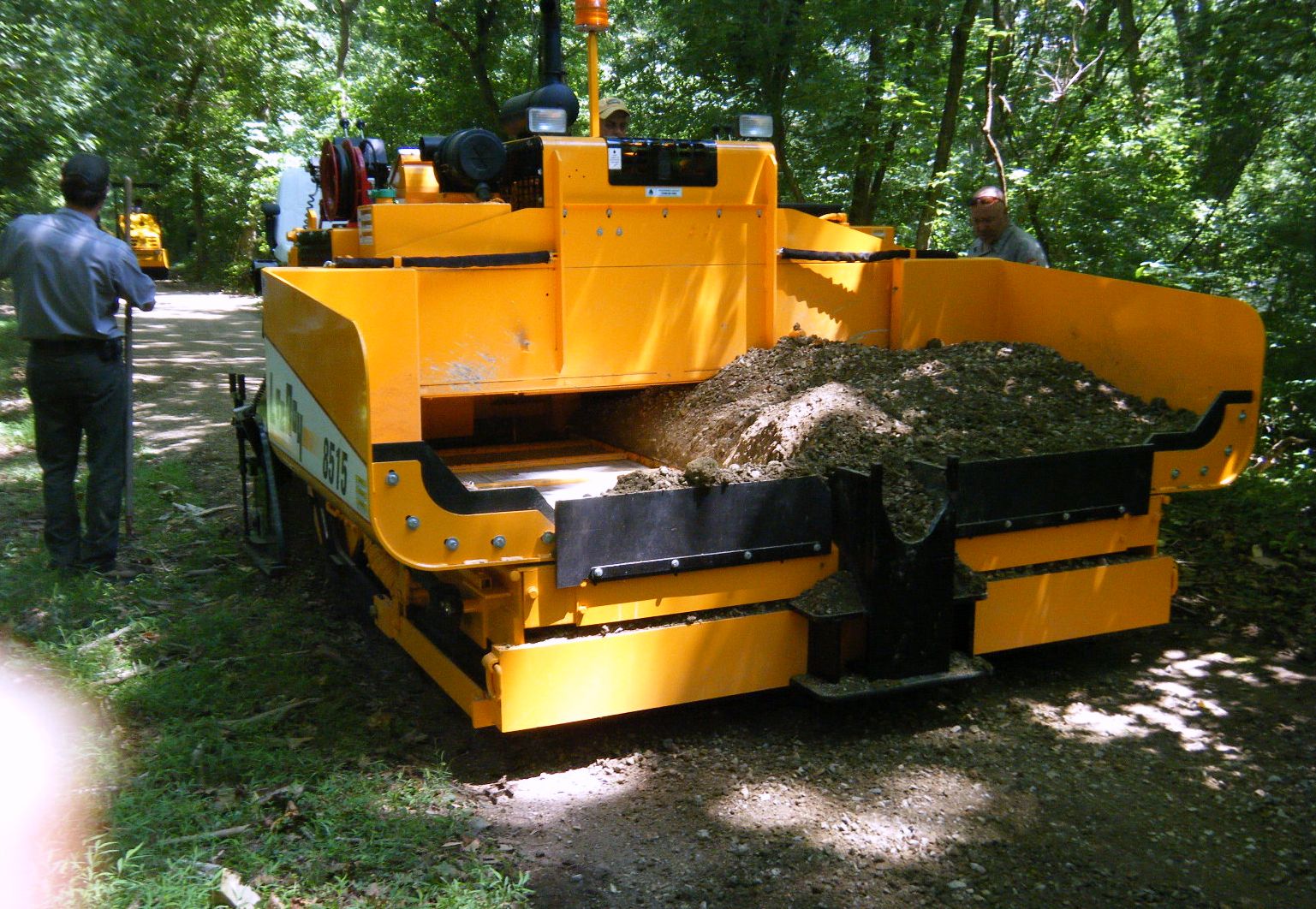
The process was interesting. They were using an asphalt spreader to put down an
even level of a stone and sand mix. Then they packed it down with a roller to about
3˝ inches. As they were just starting, I got to ride the first 50 feet. I couldn't
see the slightest tire mark. Time will tell how this holds up under use and weather,
but it is starting out quite well.
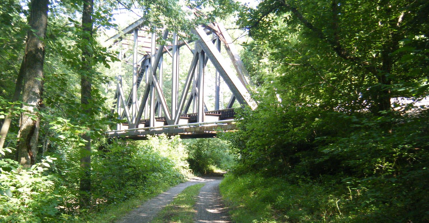
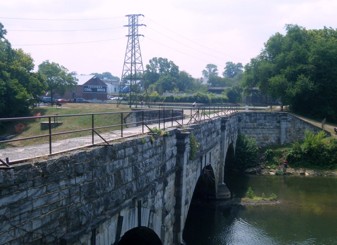
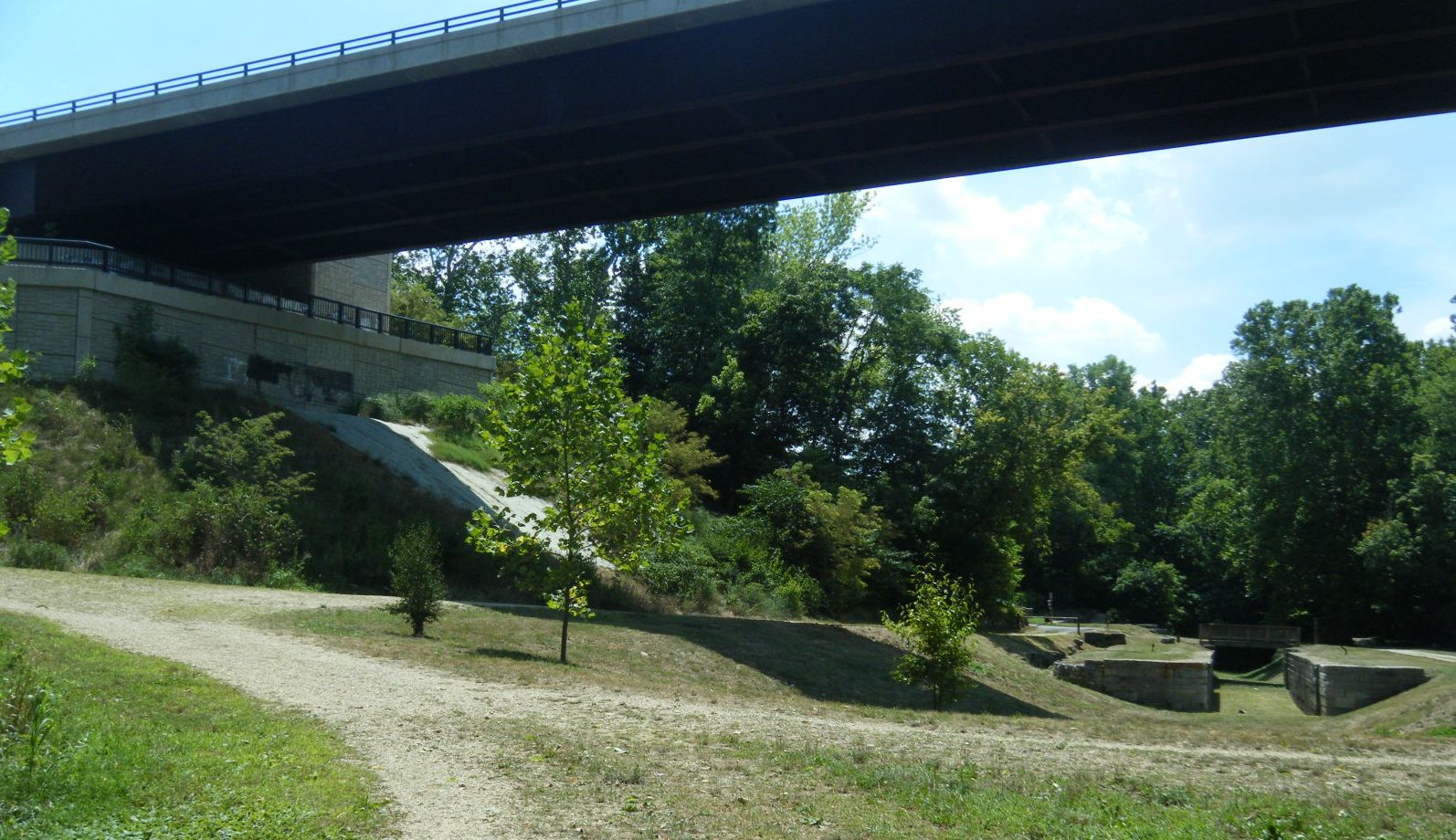
Just before Big Pool is this railroad bridge. It was built to connect the Western
Maryland Railroad to the B &O Railroad across the Potomac River in West Virginia.
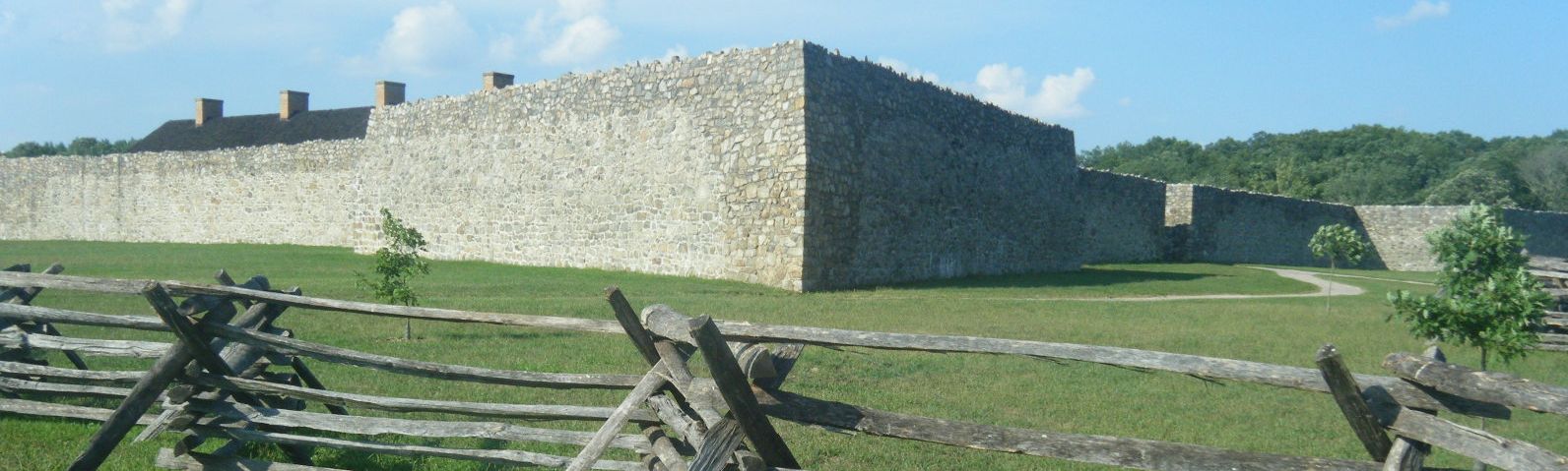
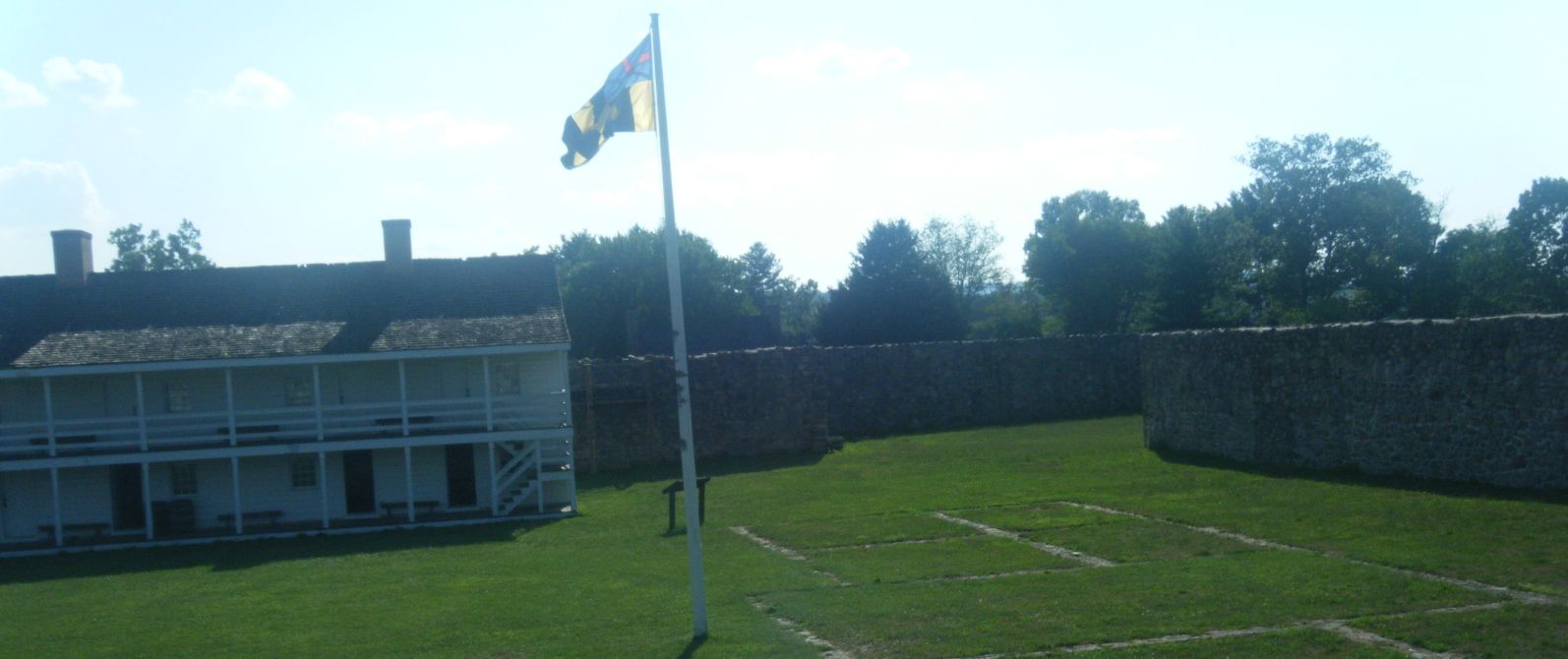
At the other end of Big Pool is Fort Frederick. It was built by the British for
use in the French and Indian War, but never involved in any battles during either
the French and Indian War or the Civil War. It was used to hold prisoners during
the Civil War.
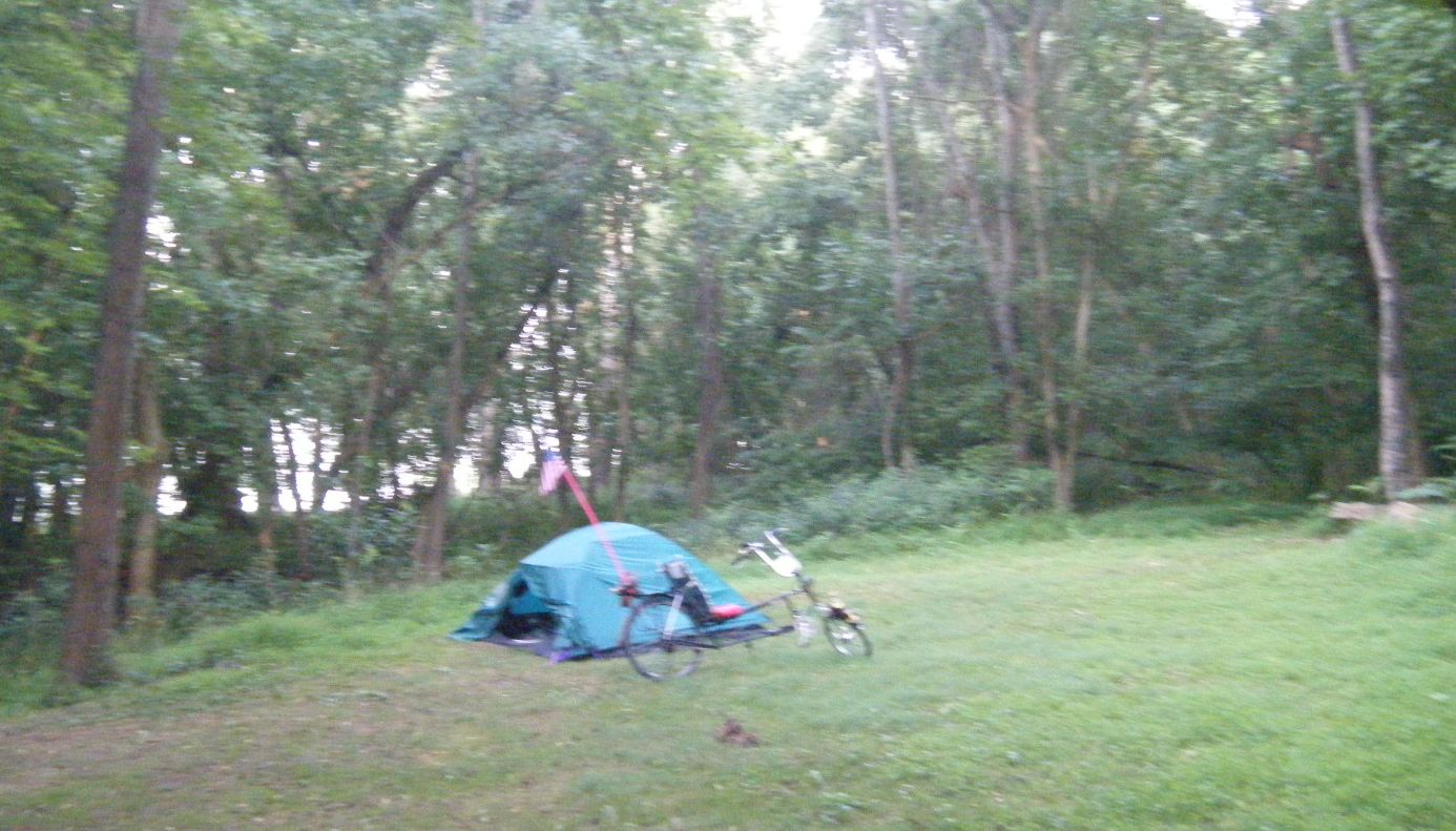
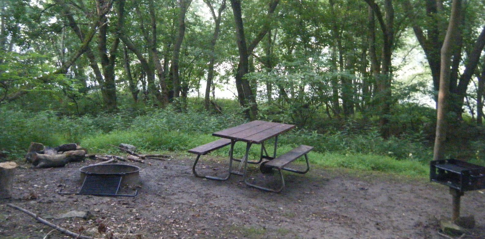
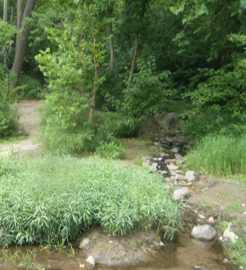
North Mountain campsite is downhill from the trail but still doesn't put you on
the river.
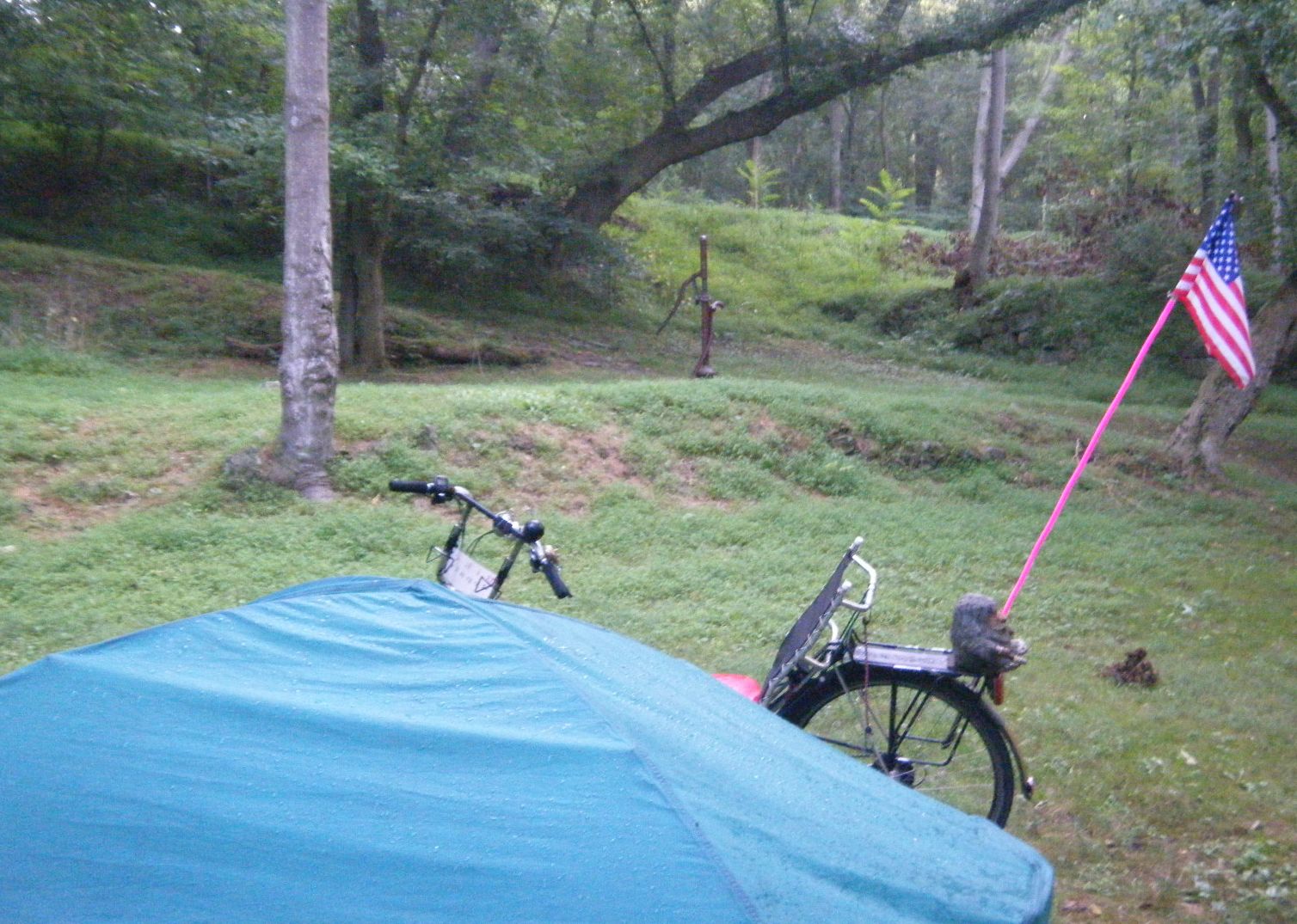
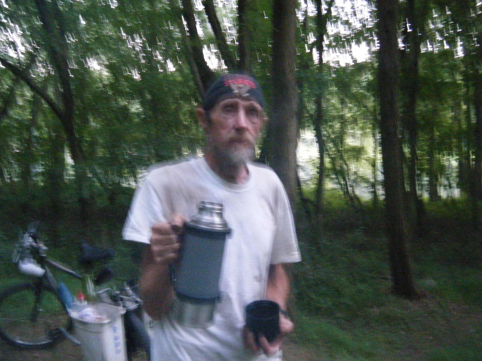
As I was setting up my tent, Harold came along. This guy is a real minimalist
traveler. For camping, he throws a tarp on the ground and uses his sleeping bag
for a mattress. If it rains (it did that night), he grabs one edge of the tarp
and rolls over. His food consisted of jars of jelly and peanut butter and (you
guessed it), a loaf of bread. He was now 70 years old, and had worked in the circus
taking care of the horses.
Harold had an interesting headlamp with 3 separate switch settings, each with its
own LED(s). First was a single bright white, good for about 50 wide-angle yards.
Next was a pair of reds that were great for reading without destroying your night
vision. Finally, a pair of whites, great for walking around and seeing about 20
yards. It is made by Energizer, runs on 3 AAA alkaline batteries, and can be tilted
90 degrees in six different angles from straight ahead to straight down. He bought
it at WalMart for under $20, and so did I when I got home.
Tuesday, July 20 to Cumberland Valley (Williamsport,MD)
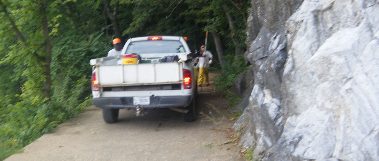
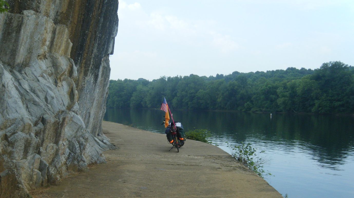
Above Dam #5, the canal boats leave the canal and venture out onto the Potomac
River where the mules used a narrow path hacked out of the cliffs. There were no
more mules, but coming toward me were some prisoners trimming branches.
The Desert Rose Café in Williamsport was about the smallest café I've ever seen.
Inside it had only two tables, and you still had to go to the counter to order
your food. To be fair, there was additional seating for four outside on the sidewalk.
She has plans to expand to create more seating by 2011. And the food was good.
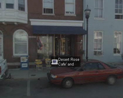
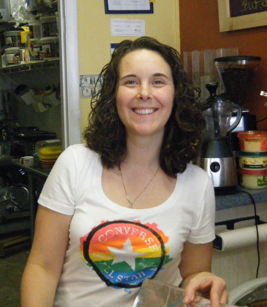
The café was named after the owner - Desert Rose. At birth, her name was just Rose,
but while living in Kentucky, her parents complained about the cold weather. Rose's
nanny suggested they move out west, so they could call her "Desert Rose". The name
stuck.
As I crossed the bridge coming into Williamsport, I saw a building that says "Cushwa"
on the side of it. This former warehouse is now the National Park's Visitor Center.
If you do nothing else at Williamsport, see the two films here. They were made while
the canal was still in operation and are excellent. Among other things you will
learn is that normal mule speed was 4 miles an hour. My average is … faster.
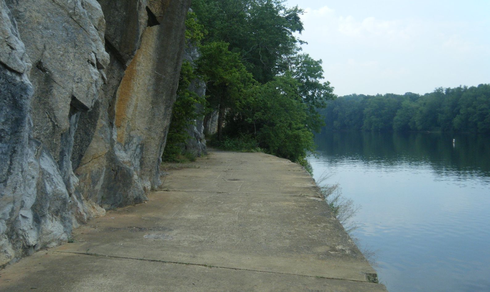
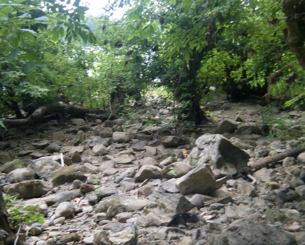
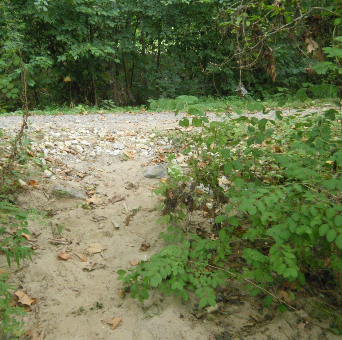
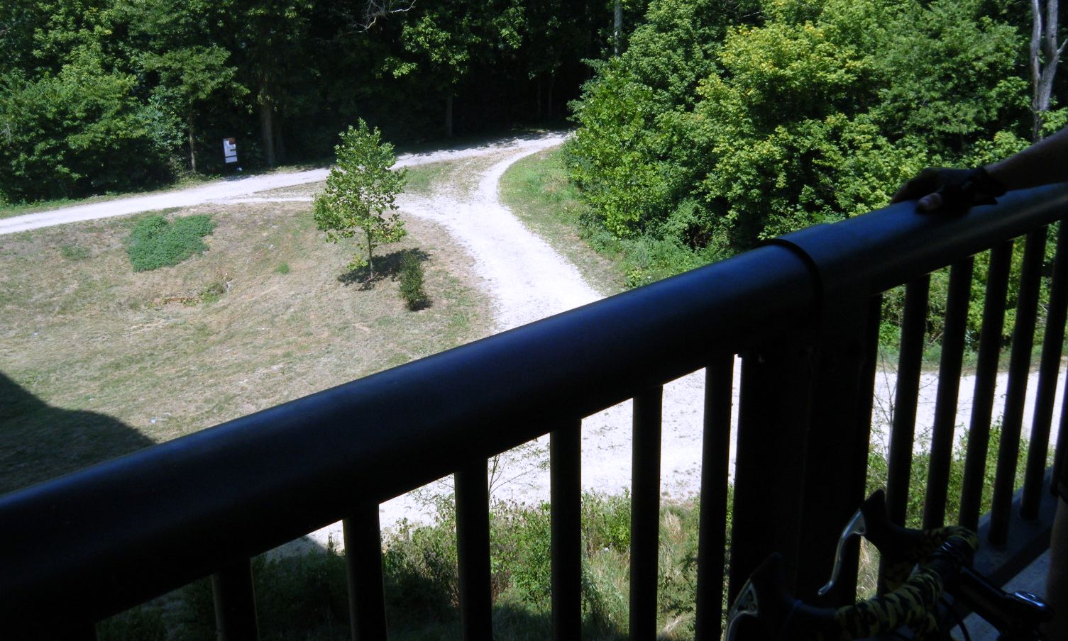
The towpath is not all scenic.
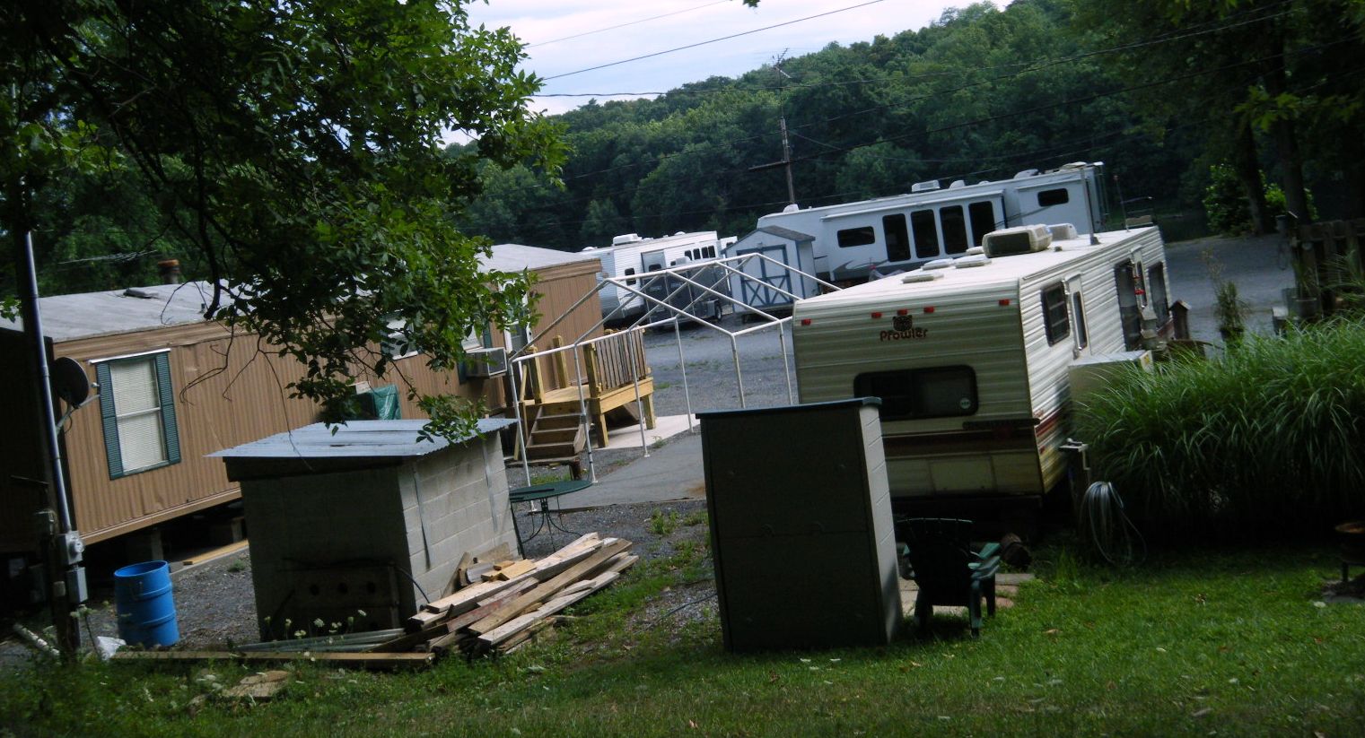
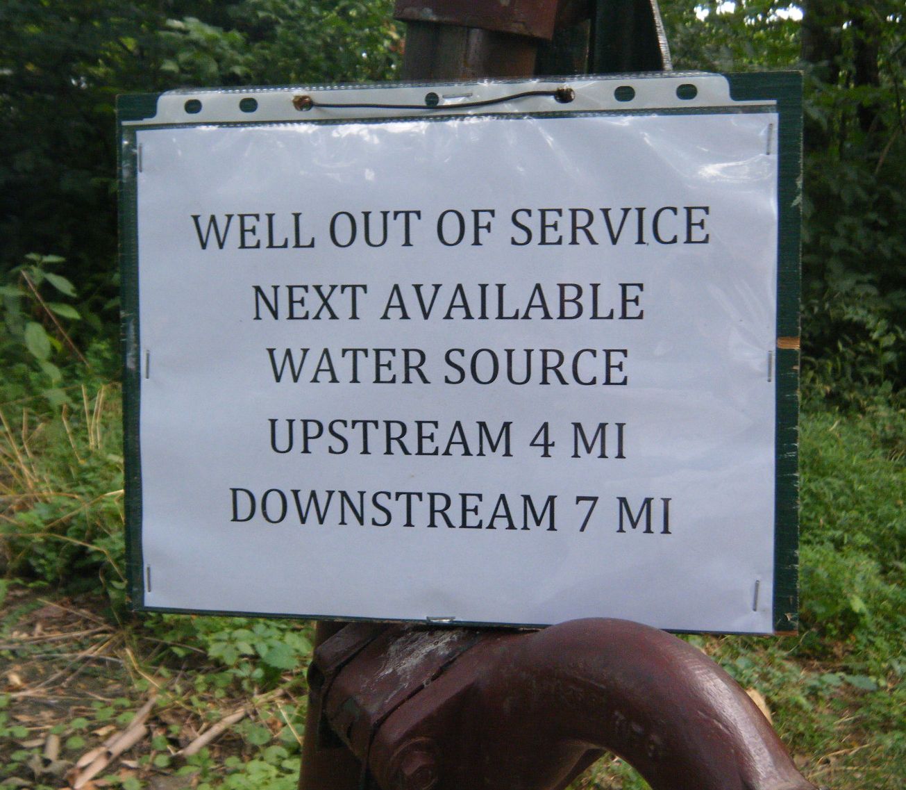
At Cumberland Valley was a nice campsite, but the pump wasn't working. I stayed there anyway.
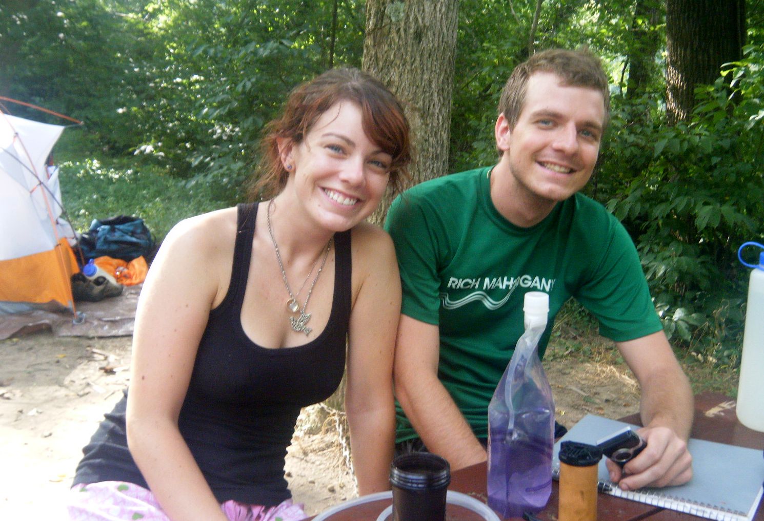
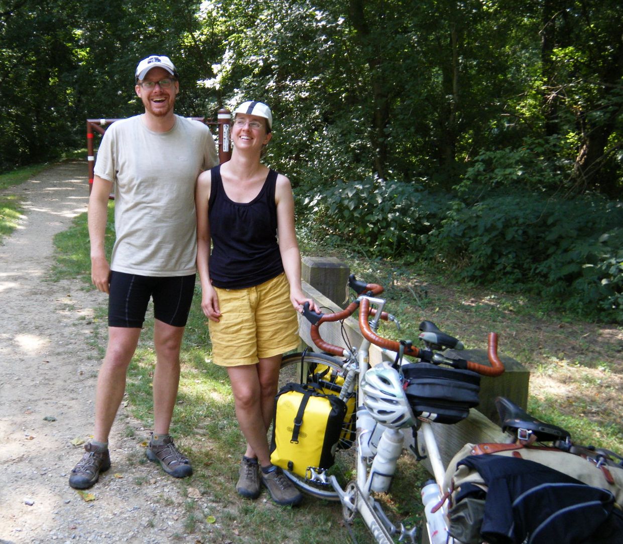
As I was setting up camp, Sara and Peter stopped to see if they could camp with me.
I said they could, even though they weren't bicyclists (grin). They are walking
across the United States. Peter was carrying as much gear on his back as I was on
my overloaded bike.
Peter, who was in his late 20s, had quit his job in the computer industry because
it was no fun. He decided to walk to the west coast to think about what he wanted
to do next. At the moment, he thought he might become a chef.
Before leaving, he asked each of his friends if they wanted to come with him.
Only Sara, in her early 20s, agreed. My first impression of her was that she was
knockout good looking. After talking with her for the rest of the evening, I
decided she was smart and had good common sense, too. If I were 40 years younger … I
wouldn't have had a chance with her, but that is what fantasy is all about.
Wednesday, July 21 to Big Woods (Antietam,MD)
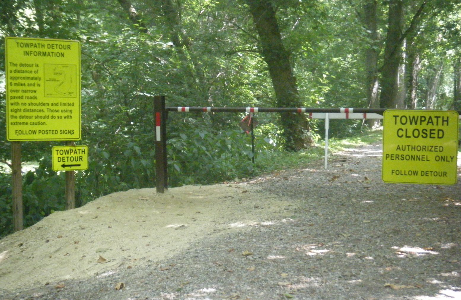
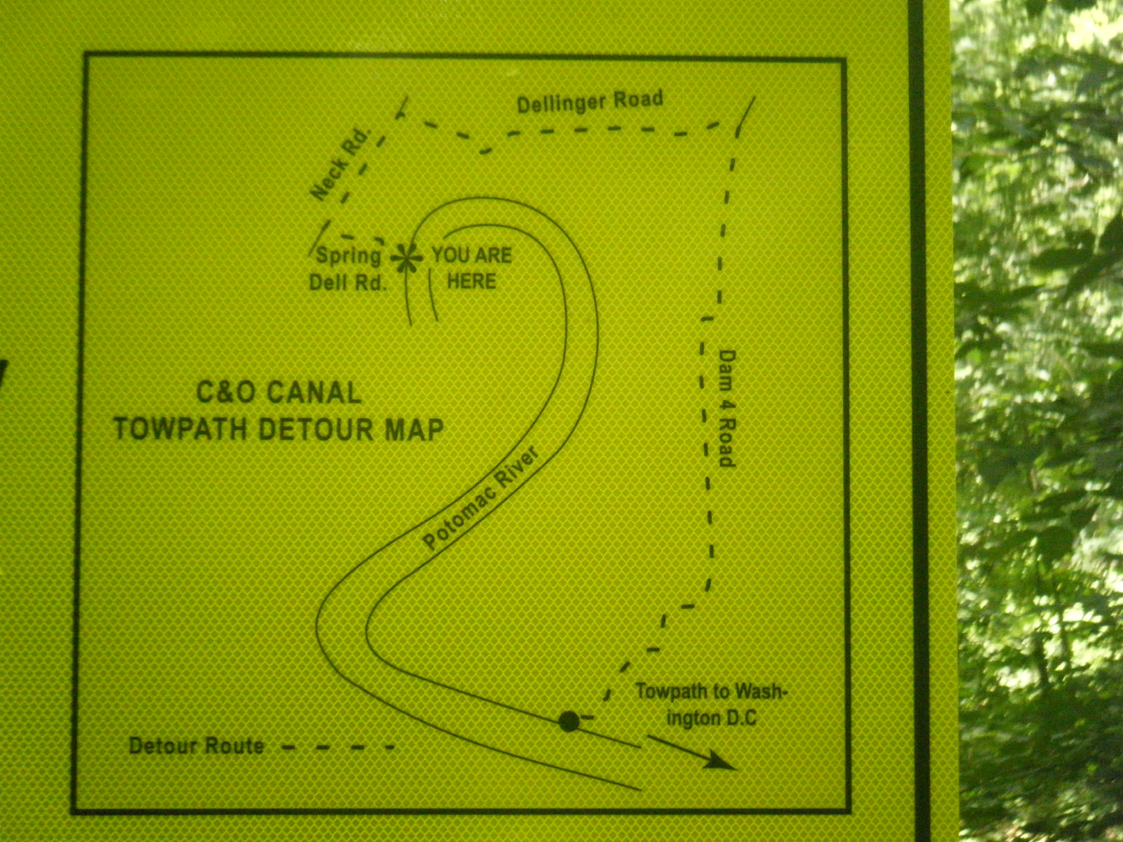
Eleven miles beyond Williamsport is the detour around the Big Slackwater, adding
8 miles to the ride. Floods had wiped out this part of the canal, so a detour was
needed. It is impossible to miss this detour.
This is a time when your orientation goes from horizontal to vertical. The beginning
of the detour is two inclines on large, rough rock through a farm - best passed
over on foot. Then you rejoice when you see smooth pavement, only to notice
Springdell Road seems to go more up than ahead (not really true).
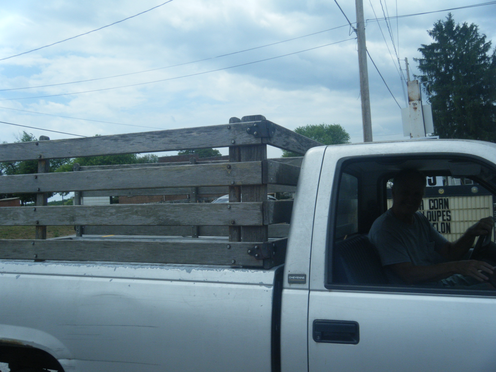
Turning the corner at the top of this hill presented me with a couple of roller
coaster hills. Seeing this, I hitched a ride on a pickup truck to the Downsville
General Store for lunch.
The rest of the detour is rolling, except the last hill down to the canal. At the
top of that hill, there is a sign telling you to walk your bike. Going the other
way, this hill is a challenge to the fit. I coasted down, brakes fully engaged,
discovering the way back to the towpath was just around a curve, but not yet at
the bottom.
NOTE:
Construction has begun to repair the original route; it should be ready for
bicyclists and hikers in 2012. Before it's ready, I believe a better choice is to
leave the canal at Williamsport, grab a bite at the Desert Rose Café, then continue
south on MD-63 (Conococheague St) to Dam Number 4 Road at Downsville.
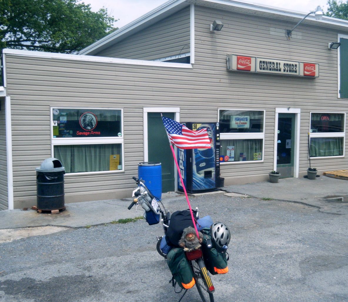
The Downsville General Store is to your left about 300 yards. It is a convenience
store with a grill; call ahead to see if they are open (301-223-6401). Turning
right gets you back on the easier part of the detour, joining it a mile to the
south at Dellinger Rd.
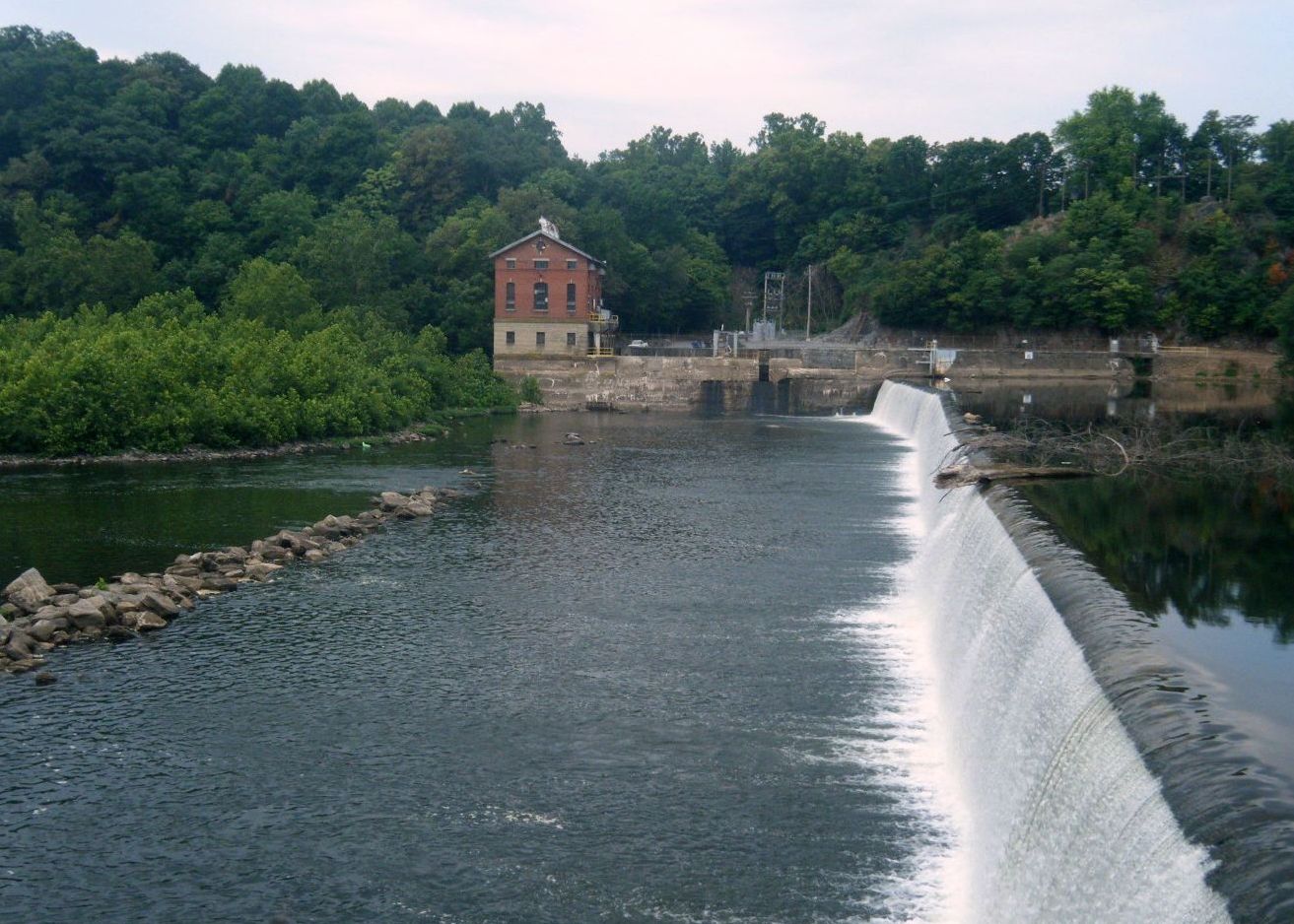
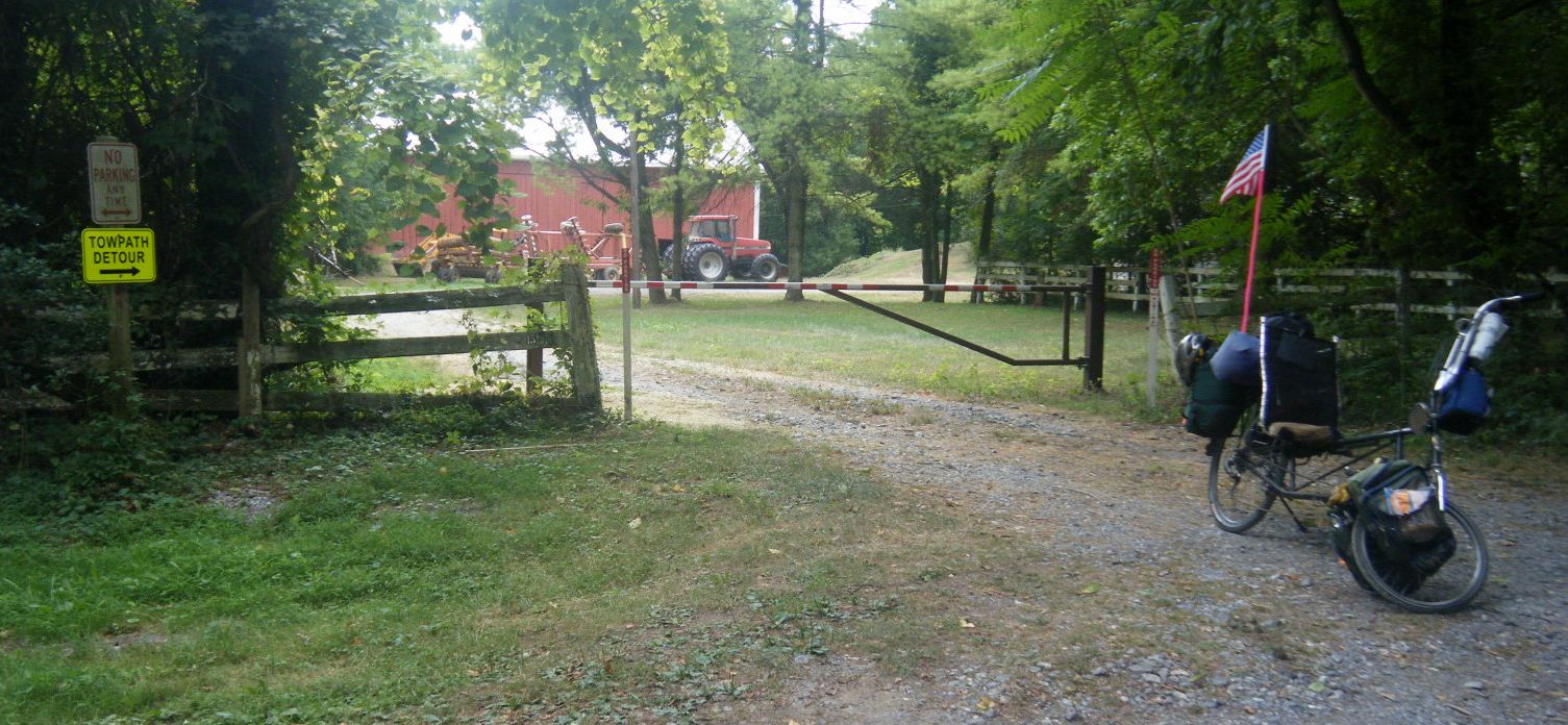
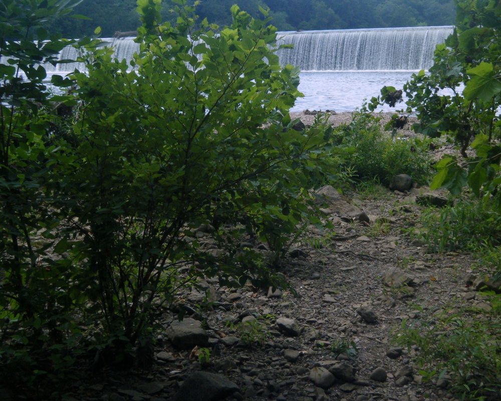
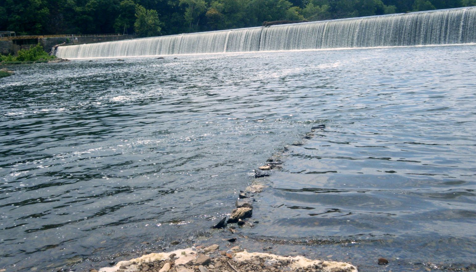
From where the detour rejoins the canal, I could see the Potomac and decided to
go to the base of Dam #4. It wasn't a trail, rather a collection of large rocks
that didn't like the cleats on my bike sandals.
Once on the beach, I carefully waded in. The rocks were slippery and the waves
from the dam made footing difficult.
After getting thoroughly soaked and cooled down, I looked around and saw a real
path going out. It came out onto the discontinued part of the towpath just a hundred
yards from my bike.
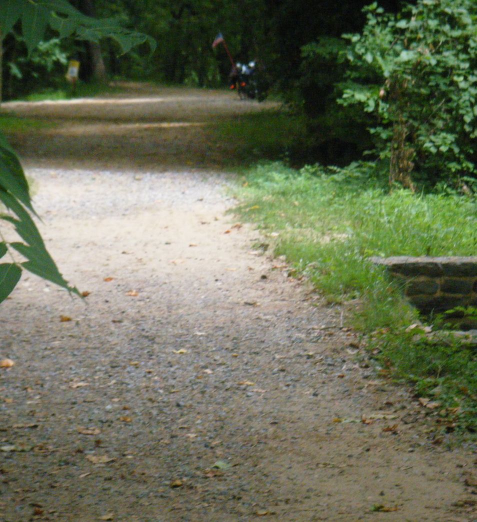
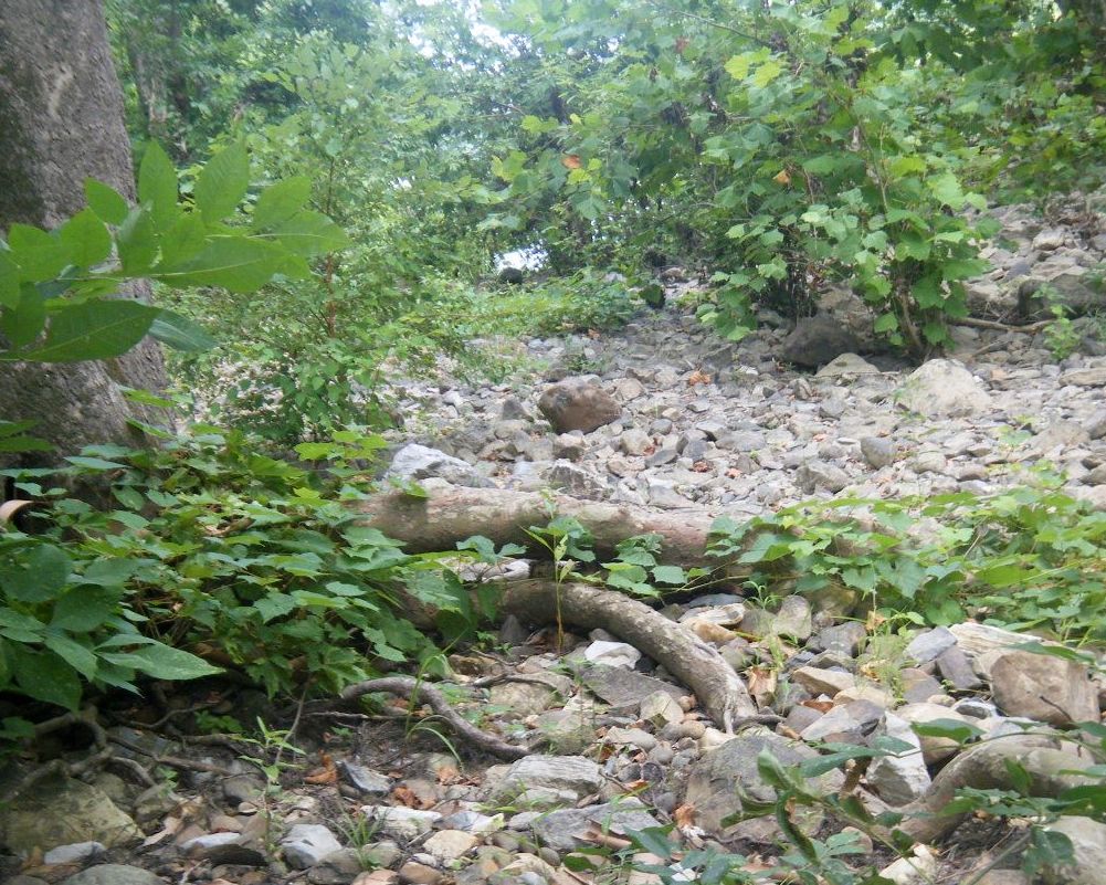
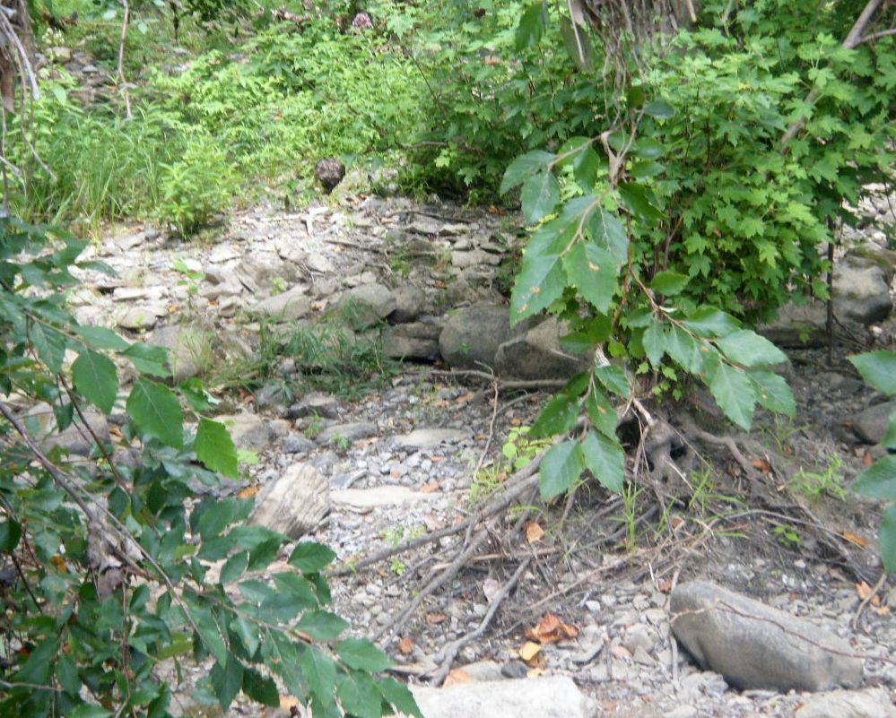
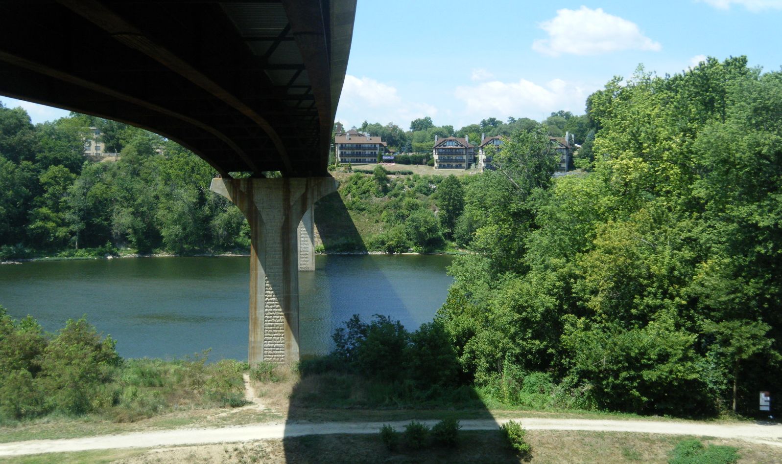
The towpath varies from uncivilized to civilized. This is a sample between Dam4
and Big Woods.
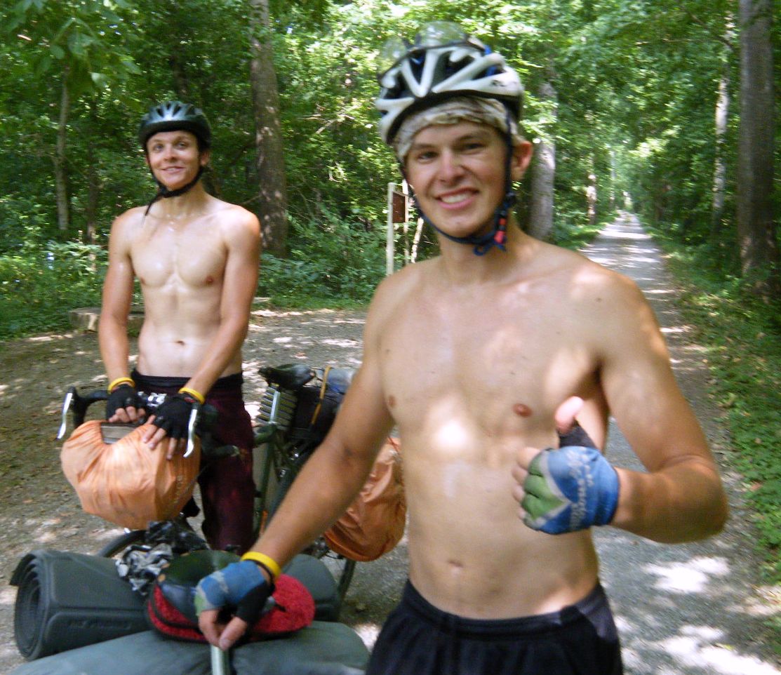
Roy got to Big Woods campsite just before I did. We ended up spending the next
day together. Before we got down into the campsite, these two shirtless guys came
along. They were going to ride the 187 miles from Cumberland to Washington, D.C.
in one day. It was after 4pm and they had a little over 80 miles to go. Tired as
they looked, I think they had a chance to make it.
 Thursday, July 22 to Huckleberry Hill (before Harpers Ferry,MD)
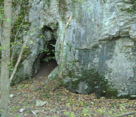
Roy and I explored most of Killiansburg Cave together. It wasn't long, but it was
quite narrow, the footing left a bit to be desired, and went deep enough to make
a light useful.
Before getting to Shepherdston, we came upon this couple with a tandem. It was
the only tandem I would see on the whole trip. Moreover, this was a road bike with
skinny tires and it was fully loaded, serious travelers they.
Shepherdstown is in West Virginia. To get there, one needed to cross the Route 480
bridge, and to do that, had to climb a path with switchbacks.
Roy and I had lunch in Shepherdstown and I went to do my laundry. While my clothes
were drying, I went next door and got some peanut butter, some jelly and (you guessed
it) a loaf of bread.
Roy is from Brunswick and was running from a warrant. I let him use my cell phone
to call his lawyer because he thought his would be traced and he would be found. I
tried to envision a detective hopping on a bike and racing up canal to capture Roy,
but it seemed a bit too much like the Keystone Cops to be a real possibility. We
parted company in Shepherdstown.
At about 6pm the sun is almost directly in my eyes. So, I find myself trying to
get to Harpers Ferry and Washington, D.C. by riding west! It just doesn't seem right.
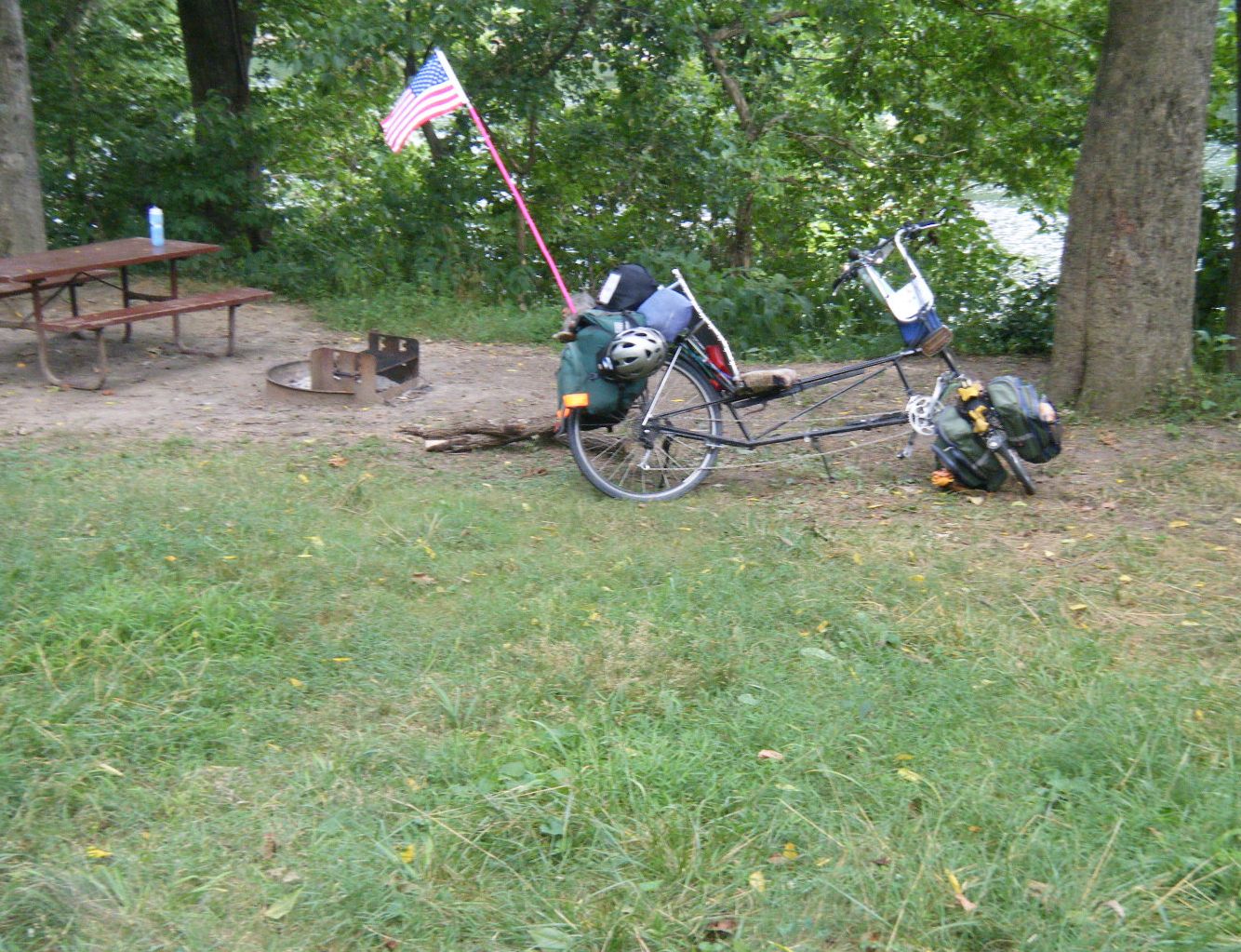
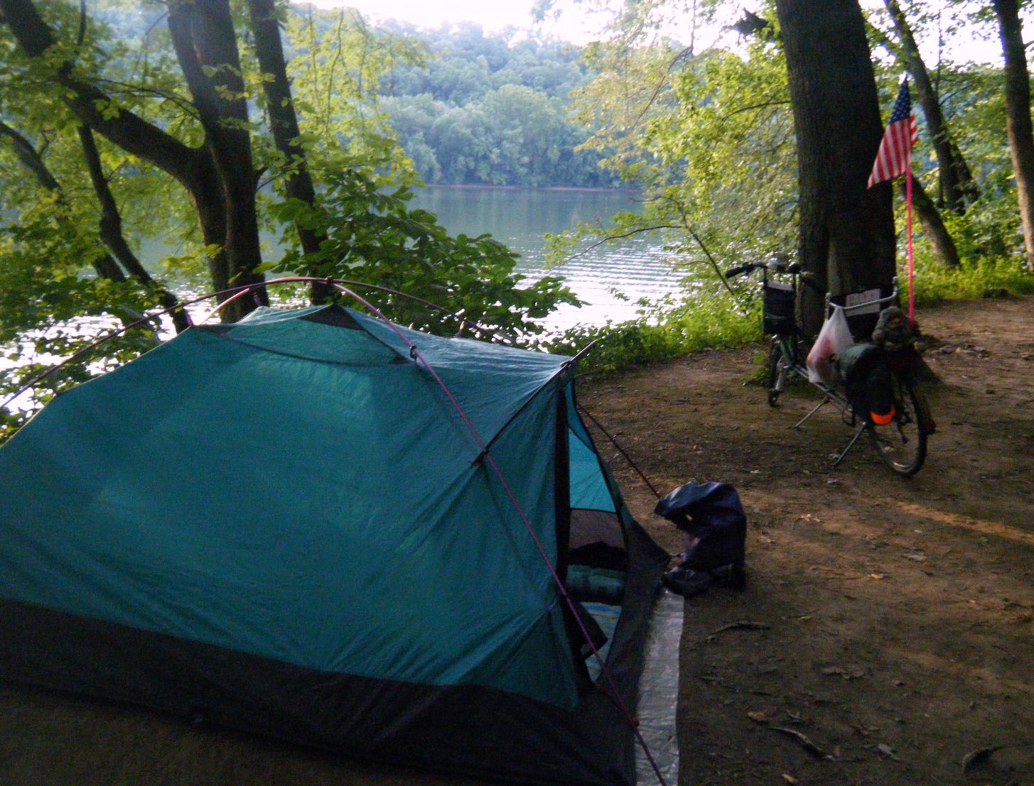
Huckleberry Hill was a pleasant campsite above the Potomac.
 Necessary Options /
Adventure Home /
Pittsburgh to D.C. Index /
Ride /
Next ->
Necessary Options /
Adventure Home /
Pittsburgh to D.C. Index /
Ride /
Next ->